
OuterMap

Parks in Waterville

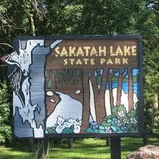
Waterville, Minnesota, United States has 1 park to explore on OuterMap: Sakatah Lake State Park. It has 5 mapped trails and 26 points of interest.

Places

  1. #1 · Sakatah Lake State Park

    0.0(0)ParkWaterville5 trails

    Established in 1963, Sakatah Lake State Park offers you the opportunity to camp, hike and recreate by the lake, while still protecting forests, wetlands, prairies and the creatures that depend on them. Members of the Dakota Nation, the Wahpekute (Wapacoota) tribe gave this area the name Sakatah, meaning "the sights and sounds of children playing on the hill," or loosely translated to "Singing Hills." The rolling terrain is the work of glaciers that deposited mounds of rocks and mineral debris (called moraines) some 14,000 years ago. In some places these deposits are up to 400 feet deep.

Frequently Asked Questions

How many parks are there in Waterville?

OuterMap has 1 park in Waterville, Minnesota, United States: Sakatah Lake State Park.

What is the longest trail in Waterville?

The longest mapped trail in Waterville is Hiking (Bluestem/Big Woods Loop/Oak Tree/Hidden Pond/Sumac Trail) at Sakatah Lake State Park, at 4.6 miles.

Where can I camp in Waterville?

Sakatah Lake State Park has campsites marked on its map.

Where can I have a picnic in Waterville?

Sakatah Lake State Park has picnic areas marked on its map.

Download The App & Explore Anywhere

Explore interactive maps, discover trails and points of interest, and navigate confidently with the OuterMap mobile app — with detailed information and offline access wherever you go.