
OuterMap

Parks in Taylors Falls

Taylors Falls, Minnesota, United States has 1 park to explore on OuterMap: Interstate State Park. It has 7 mapped trails and 29 points of interest.

Places

  1. #1 · Interstate State Park

    0.0(0)ParkTaylors Falls7 trails

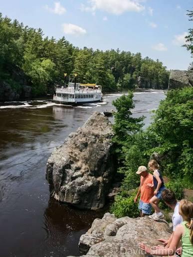
    Interstate State Park includes 293 acres of diverse plant and wildlife habitat. Established in 1895, it protects a unique landscape and globally-significant geology along the St. Croix River. A billion years ago, dark basalt rock formed here when lava escaped from a crack in the earth’s crust. Just ten thousand years ago, water from melting glaciers carved the river valley. Within that water were fast moving whirlpools of swirling sand and water that wore deep holes into the rock. Today, we call these holes glacial potholes and you can see more than 400 examples of them at the park.

Frequently Asked Questions

How many parks are there in Taylors Falls?

OuterMap has 1 park in Taylors Falls, Minnesota, United States: Interstate State Park.

What is the longest trail in Taylors Falls?

The longest mapped trail in Taylors Falls is Walter F. Mondale River Trail at Interstate State Park, at 1 mile.

Where can I camp in Taylors Falls?

Interstate State Park has campsites marked on its map.

Where can I have a picnic in Taylors Falls?

Interstate State Park has picnic areas marked on its map.

Download The App & Explore Anywhere

Explore interactive maps, discover trails and points of interest, and navigate confidently with the OuterMap mobile app — with detailed information and offline access wherever you go.