
OuterMap

Parks in Altura

Altura, Minnesota, United States has 1 park to explore on OuterMap: Whitewater State Park. It has 6 mapped trails and 31 points of interest.

Places

  1. #1 · Whitewater State Park

    0.0(0)ParkAltura6 trails

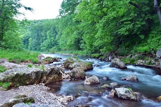
    Established in 1919, the park protects one of the most scenic sections of the historic Whitewater Valley. Rare geology in this unglaciated Driftless Area supports diverse ecosystems, dramatic landscapes and unique recreational opportunities. Much of the park was developed by the Civilian Conservation Corps and the Works Progress Administration as a result of the Great Depression. Today, the park welcomes over 250,000 visitors each year and serves as a gateway and information center for the nearby 27,000-acre Whitewater Wildlife Management Area. An active Friends Group helps support many park projects and activities.

Frequently Asked Questions

How many parks are there in Altura?

OuterMap has 1 park in Altura, Minnesota, United States: Whitewater State Park.

What is the longest trail in Altura?

The longest mapped trail in Altura is Hiking (Dakota Trail) at Whitewater State Park, at 3.2 miles.

Where can I camp in Altura?

Whitewater State Park has campsites marked on its map.

Where can I have a picnic in Altura?

Whitewater State Park has picnic areas marked on its map.

Download The App & Explore Anywhere

Explore interactive maps, discover trails and points of interest, and navigate confidently with the OuterMap mobile app — with detailed information and offline access wherever you go.