
OuterMap

Parks in Albert Lea

Albert Lea, Minnesota, United States has 1 park to explore on OuterMap: Myre-Big Island State Park. It has 9 mapped trails and 23 points of interest.

Places

  1. #1 · Myre-Big Island State Park

    0.0(0)ParkAlbert Lea9 trails

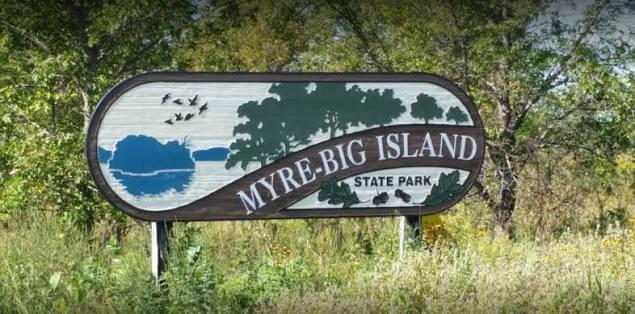
    Myre-Big Island State Park is an oasis of natural diversity. The park was created in 1947 to protect unique geologic features, plant life and human history. What began with 116 acres on Big Island now encompasses over 1,700 acres of rolling hills, ponds and marshes along the shores of Albert Lea Lake. The oak savanna landscape is surrounded by agricultural land. The area has been used by humans for over 9,000 years. Visit today and discover birding, hiking, biking, canoeing, kayaking, snowshoeing, camping and much more.

Frequently Asked Questions

How many parks are there in Albert Lea?

OuterMap has 1 park in Albert Lea, Minnesota, United States: Myre-Big Island State Park.

What is the longest trail in Albert Lea?

The longest mapped trail in Albert Lea is Blazing Star State Trail at Myre-Big Island State Park, at 7 miles.

Where can I camp in Albert Lea?

Myre-Big Island State Park has campsites marked on its map.

Where can I have a picnic in Albert Lea?

Myre-Big Island State Park has picnic areas marked on its map.

Download The App & Explore Anywhere

Explore interactive maps, discover trails and points of interest, and navigate confidently with the OuterMap mobile app — with detailed information and offline access wherever you go.