
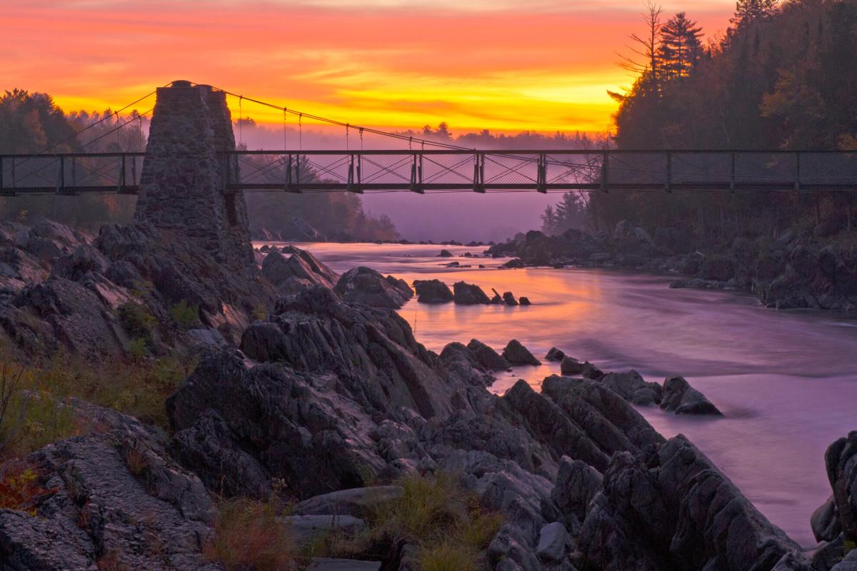
#1 · Jay Cooke State Park
0.0(0)ParkCarlton12 trails
The park was established in 1915 with a donation of land from the St. Louis River Power Company. Today, the park protects nearly 9,000 acres of forests and streams that surround the water-eroded gorge, steep valleys and rock formations of the St. Louis River, Lake Superior’s largest tributary in the United States. Millions of years of dramatic geologic events, including volcanic activity, glaciation and plate tectonics, formed the unique rock you experience here. The area also has a rich human history. Dakota and Ojibwe Indians, French fur-traders, railways, hydropower companies, and the Civilian Conservation Corps all left impressions you may notice as you explore. The stunning landscape hosts a healthy ecosystem. Walk quietly, listen and look, and you may find some of the diverse wildlife that rely on the park’s varied habitat. Watch for white-tailed deer, black bears, timber wolves, an abundance of birds, and more.