The OuterMap Journal
Field notes on wayfinding, visitor experience, and turning static maps into living ones.
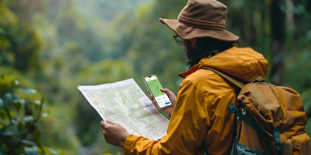
Beyond Paper Maps: How Interactive Mapping Transforms Recreation Park Visitor Experiences
Recreation parks can use interactive mapping to make existing maps more useful for today's digital visitors. By connecting trails, campsites, facilities, activities, and points of interest, digital maps can make park exploration easier and more convenient.
Read the field note →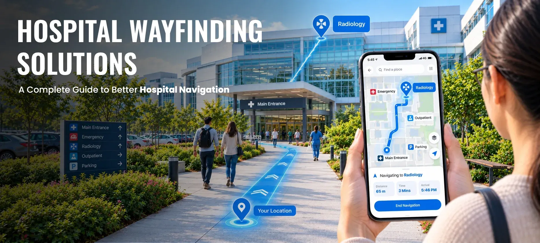
Hospital Wayfinding Solutions: A Complete Guide to Better Hospital Navigation
Hospitals can be difficult to navigate, especially when patients and visitors need to find a specific department, clinic, exam room, laboratory, pharmacy, parking area, or emergency department within a large or multi-building facility. Complex layouts, multiple floors, unfamiliar terminology, and changing routes can make even a short journey confusing.

Indoor Wayfinding: How Large Venues Can Improve Visitor Navigation
Large venues can be difficult to navigate, especially when visitors need to find a destination across multiple floors, entrances, corridors, departments, stores, or facilities. Airports, shopping malls, museums, stadiums, universities, hospitals, and convention centers can all present similar challenges when visitors are unfamiliar with the environment.
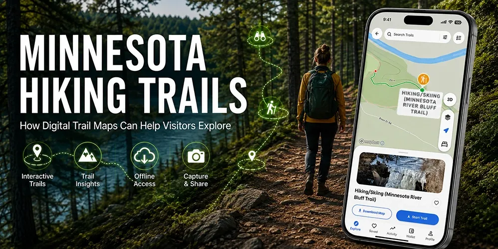
Minnesota Hiking Trails: How Digital Trail Maps Can Help Visitors Explore
Minnesota offers a wide variety of hiking opportunities, from forest trails and state parks to scenic routes, paved paths, and natural-surface trails. With so many places to explore, having clear trail information and an easy way to understand the surrounding area can make planning and navigating a hike more convenient.
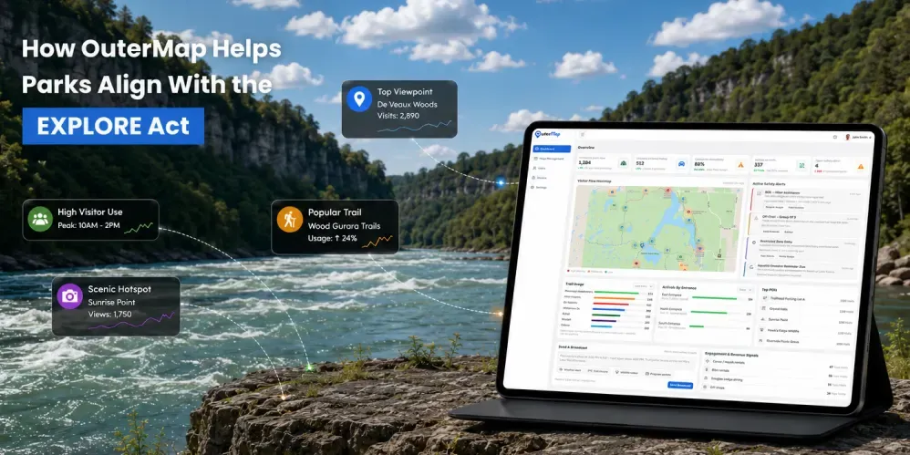
How OuterMap Supports Parks With Better Visitor Data in the Context of the EXPLORE Act
Outdoor recreation is becoming increasingly data-driven. Park management teams need to understand not only how many people visit a destination, but also how visitors use trails, amenities, points of interest, facilities, and recreation areas. this is where visitor data for parks becomes increasingly valuable.
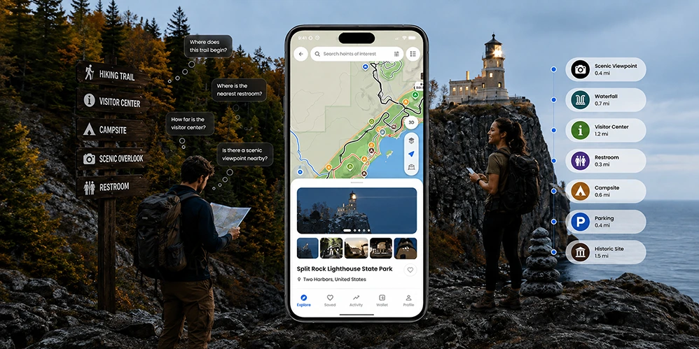
Making Minnesota State Parks Easier to Explore With Digital Maps
Minnesota’s state parks offer diverse landscapes, trails, facilities, and attractions that can be difficult to explore using static maps alone. Digital maps can connect these locations in one mobile experience, helping visitors discover destinations, plan routes, and access useful information while exploring.
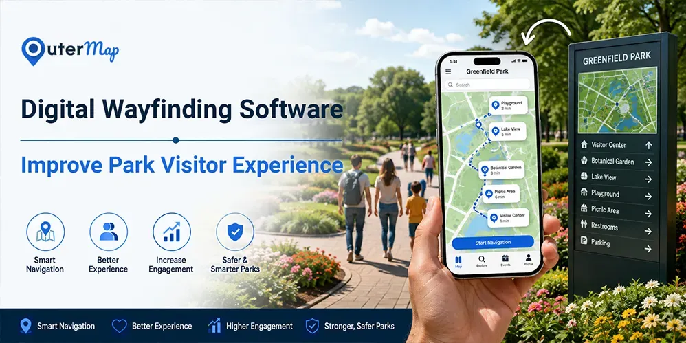
How Digital Wayfinding Can Improve the Park Visitor Experience
Navigating a large park can be challenging when visitors need to find trails, attractions, facilities, or other destinations. Digital wayfinding adds an interactive layer to traditional park maps and signage, helping visitors search for locations, explore routes, and access useful information from their devices.
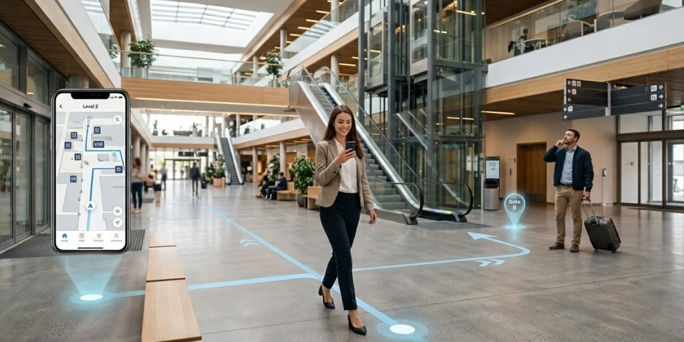
Common Indoor Navigation Challenges and How to Solve Them
Finding a destination inside a large building can be challenging when visitors face multiple floors, complex layouts, unclear signs, or changing locations. Indoor navigation solutions can complement traditional signage by helping people search for destinations, understand routes, and navigate complex facilities more confidently.
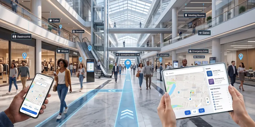
Indoor Mapping Software: Features, Benefits & Applications
Indoor mapping software helps organizations turn complex building layouts into interactive digital experiences that make destinations easier to find and navigate. From hospitals and airports to universities, malls, and event venues, this guide covers the key features, benefits, applications, and considerations for choosing the right indoor mapping solution.
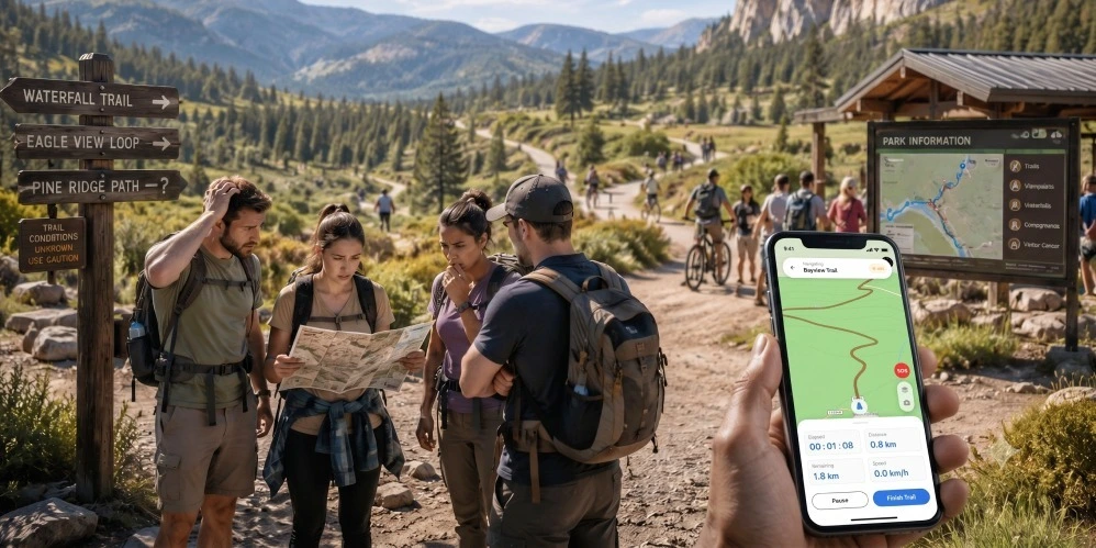
7 Reasons Park Visitors Get Confused & How Digital Wayfinding Helps
Park visitors can become confused when large outdoor spaces have multiple trails, entrances, facilities, and attractions. Digital wayfinding adds an interactive layer to traditional maps and signs, helping visitors find destinations, explore routes, and access useful park information more easily.
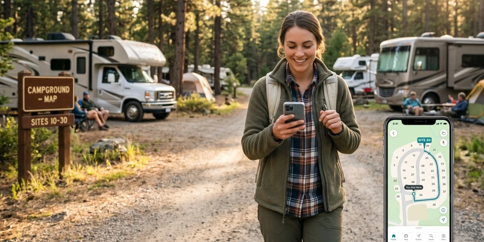
How Digital Maps Improve Campground Experiences
Digital campground maps can make it easier for guests to find campsites, amenities, trails, recreation areas, and other important locations throughout their stay. By adding an interactive layer to traditional campground maps, operators can provide a more convenient guest experience while making location-based information easier to access and manage.
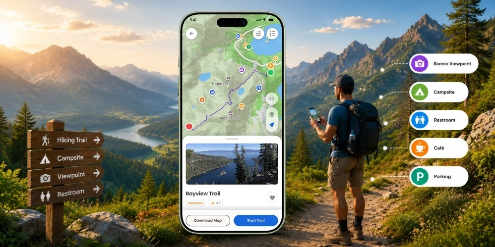
How Self-Guided Tours Are Transforming Adventure Tourism
Self-guided tourism gives visitors greater freedom to explore at their own pace. Interactive digital maps support this experience by helping them find trails, attractions, facilities, and points of interest while navigating unfamiliar outdoor destinations.

How Hospitals Improve Patient Navigation (Without Custom App Budgets)
Hospital wayfinding is not just about helping patients find departments. A well-designed digital navigation experience can make it easier to locate entrances, clinics, facilities, and accessible routes while reducing confusion throughout the hospital journey.

What Is a Shopping Mall Navigation App? And Why Your Mall Should Have One
Shopping malls can be complex spaces where visitors need to find stores, restaurants, amenities, parking areas, and destinations across multiple floors. A digital mall navigation app can make this journey easier by bringing interactive maps, search, wayfinding, and location-based information into one convenient experience.
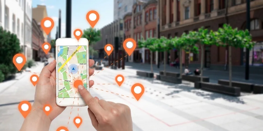
Why Large Venues Need a Navigation System (Not Just Signage)
Large venues often combine multiple floors, entrances, facilities, and destinations, making navigation difficult for visitors. As discussed throughout this guide, digital navigation can complement physical signage by helping visitors search for specific locations, understand routes, and access useful information while moving through complex spaces.
How Does Digital Wayfinding Work? The Honest Engineering Answer
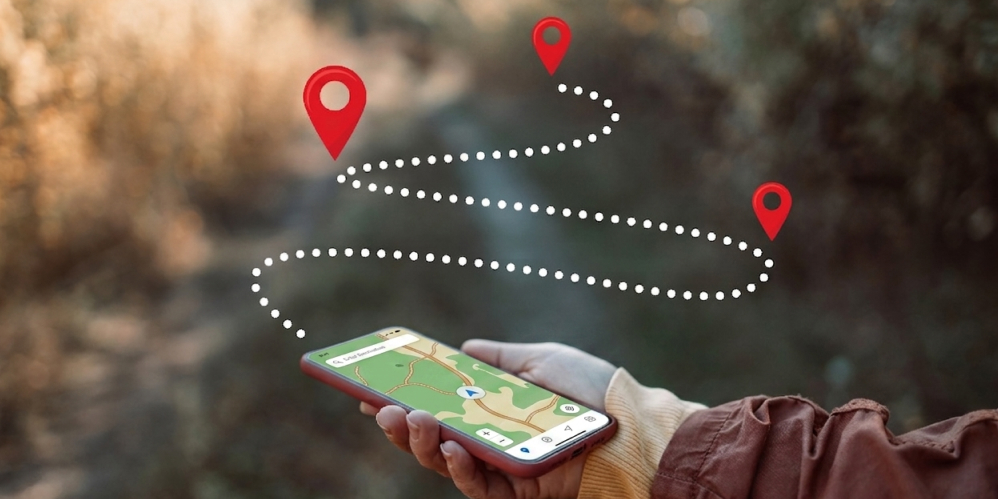
Digital wayfinding combines interactive maps, searchable points of interest, and digital route guidance to help visitors navigate complex indoor and outdoor environments. Understanding how these systems work can help organizations evaluate the right wayfinding solution for their venues, facilities, parks, and other destinations.

What Is Indoor Navigation Software? A Practical 2026 Guide
Indoor spaces can be difficult to navigate when visitors need to find specific destinations across multiple floors, corridors, and sections. Indoor navigation software provides a digital way to search for locations, understand building layouts, and follow routes to destinations. This guide explains the technology, approaches, key features, and practical applications of indoor navigation.
Why Your Museum Should Retire Its Paper Map (And What to Do Instead)
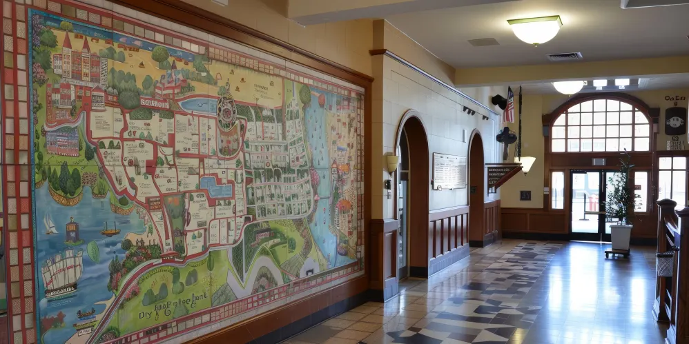
Museums can be challenging to explore when visitors need to find specific galleries, exhibits, facilities, or accessible routes. Digital maps provide a convenient way to bring navigation and visitor information together on devices visitors already use. This approach can make museum experiences easier to explore while supporting more flexible and accessible visitor guidance.

Wayfinding App Cost in 2026: A Complete Buyer's Guide
Choosing a wayfinding app is not only about the initial development price. Organizations also need to consider map setup, positioning technology, updates, hosting, offline capabilities, support, and long-term maintenance. Understanding these factors can help buyers compare wayfinding solutions more accurately and avoid unexpected costs.
How to Digitize a Park Map Into a Mobile App in 30 Minutes
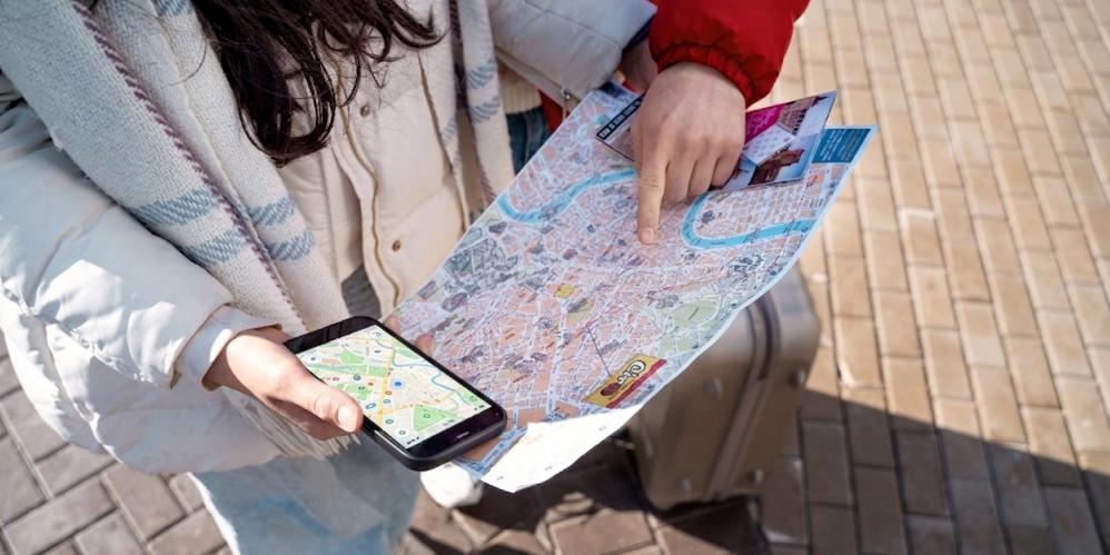
Digitizing a park map does not always require a large development project or a dedicated GIS team. With the right digital mapping platform, parks can transform an existing map into an interactive mobile experience, making trails, facilities, attractions, and other points of interest easier for visitors to find and explore.