
#1 · Fort Snelling State Park
0.0(0)ParkMendota Heights10 trails
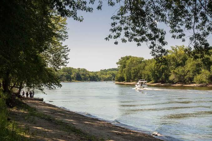
The Mississippi and Minnesota rivers have been shaping the landscape for thousands of years. An abundance of plants and animals continues to be sustained by all of this water. The majority of the park is dominated by cottonwood and silver maple trees and visitors can often spy white-tailed deer and wild turkeys while exploring the trails. The confluence of the rivers is the center of the earth, and a sacred place, for the Mdewakanton Dakota people. It is also where 1600 Dakota people were imprisoned during the winter of 1862-63 before being forcibly removed from Minnesota in the spring. Exhibits in the Visitor Center and the Wokiksuye K'a Woyuonihan (Remembering and Honoring) Dakota Memorial share the cultural significance and history of this sacred site with park users.