
OuterMap

Parks in Le Roy

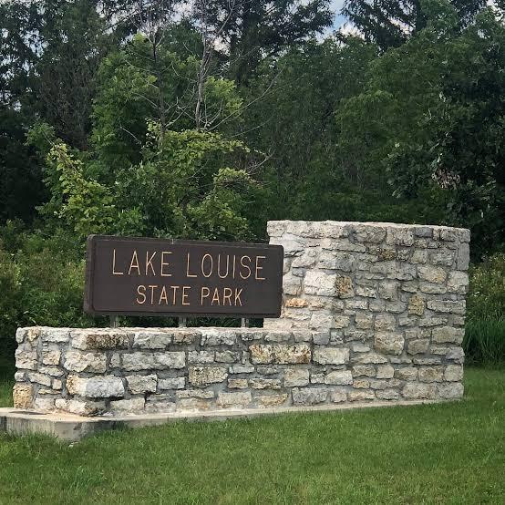
Le Roy, Minnesota, United States has 1 park to explore on OuterMap: Lake Louise State Park. It has 3 mapped trails and 17 points of interest.

Places

  1. #1 · Lake Louise State Park

    0.0(0)ParkLe Roy3 trails

    The park’s lake was created when early settlers built a dam on the Upper Iowa River to power a gristmill, an important business for the growing frontier community of Le Roy. Later in time, the Hambrecht Family donated several acres along the lake as a recreation area called Wildwood Park. The lake was named “Louise” after a family member. The city of Le Roy donated Wildwood Park to the state in 1962, and Lake Louise State Park was established. Today, at 849 acres, the park offers woodlands and restored prairies with abundant wildflowers and wildlife. The park also includes the confluence of the Upper Iowa and Little Iowa rivers and features numerous sinkholes

Frequently Asked Questions

How many parks are there in Le Roy?

OuterMap has 1 park in Le Roy, Minnesota, United States: Lake Louise State Park.

What is the longest trail in Le Roy?

The longest mapped trail in Le Roy is Hiking/Horseback Riding (Lake View/White Oak/Pin Oak Trail) at Lake Louise State Park, at 9.5 miles.

Where can I camp in Le Roy?

Lake Louise State Park has campsites marked on its map.

Where can I have a picnic in Le Roy?

Lake Louise State Park has picnic areas marked on its map.

Download The App & Explore Anywhere

Explore interactive maps, discover trails and points of interest, and navigate confidently with the OuterMap mobile app — with detailed information and offline access wherever you go.