
OuterMap

Parks in Minnesota City

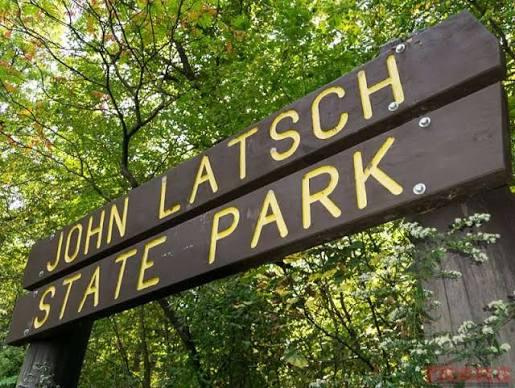
Minnesota City, Minnesota, United States has 1 park to explore on OuterMap: John A. Latsch State Park. It has 1 mapped trail and 4 points of interest.

Places

  1. #1 · John A. Latsch State Park

    0.0(0)ParkMinnesota City1 trail

    Full of Mississippi River vistas, this park bears the name of the philanthropic Winona grocer who donated the land to the state in 1925. The park’s convenient location and small footprint have made it a favorite stopping point for people traveling between La Crosse, Wisconsin and Red Wing, Minnesota. The park was once classified as a state scenic wayside and is unique in not requiring a state park permit today. The park’s hiking trail was created by the Civilian Conservation Corps in 1933. Enjoy the beautiful views you will find there.

Frequently Asked Questions

How many parks are there in Minnesota City?

OuterMap has 1 park in Minnesota City, Minnesota, United States: John A. Latsch State Park.

What is the longest trail in Minnesota City?

The longest mapped trail in Minnesota City is Hiking at John A. Latsch State Park, at 0.4 miles.

Where can I have a picnic in Minnesota City?

John A. Latsch State Park has picnic areas marked on its map.

Download The App & Explore Anywhere

Explore interactive maps, discover trails and points of interest, and navigate confidently with the OuterMap mobile app — with detailed information and offline access wherever you go.