
OuterMap

Parks in Caledonia

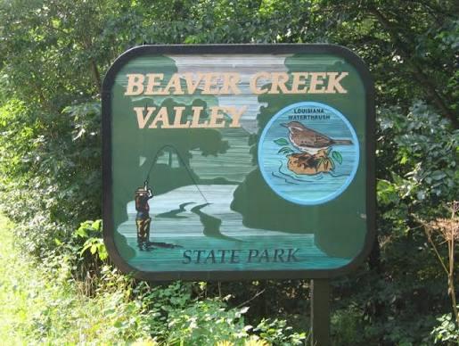
Caledonia, Minnesota, United States has 1 park to explore on OuterMap: Beaver Creek Valley State Park. It has 6 mapped trails and 21 points of interest.

Places

  1. #1 · Beaver Creek Valley State Park

    0.0(0)ParkCaledonia6 trails

    Big Spring, the source of Beaver Creek, became part of Beaver Creek Valley State Park in 1937. Today, the park protects rare and diverse plants and animals. The scenic beauty of this valley, in the driftless area of Minnesota, offers a unique setting for a day hike or camping trip. Fish for trout in the streams, experience spring wildflowers and bird migrations, hike quiet trails, or marvel at steep valley walls carved by glacial meltwater thousands of years ago. There is no biking allowed in the park, but the Root River State Trail is only a 20 minute drive away.

Frequently Asked Questions

How many parks are there in Caledonia?

OuterMap has 1 park in Caledonia, Minnesota, United States: Beaver Creek Valley State Park.

What is the longest trail in Caledonia?

The longest mapped trail in Caledonia is Hiking (W Rim + Hole-in-rock + Big spring) at Beaver Creek Valley State Park, at 2.8 miles.

Where can I camp in Caledonia?

Beaver Creek Valley State Park has campsites marked on its map.

Where can I have a picnic in Caledonia?

Beaver Creek Valley State Park has picnic areas marked on its map.

Download The App & Explore Anywhere

Explore interactive maps, discover trails and points of interest, and navigate confidently with the OuterMap mobile app — with detailed information and offline access wherever you go.