
OuterMap

Parks in Pelican Rapids

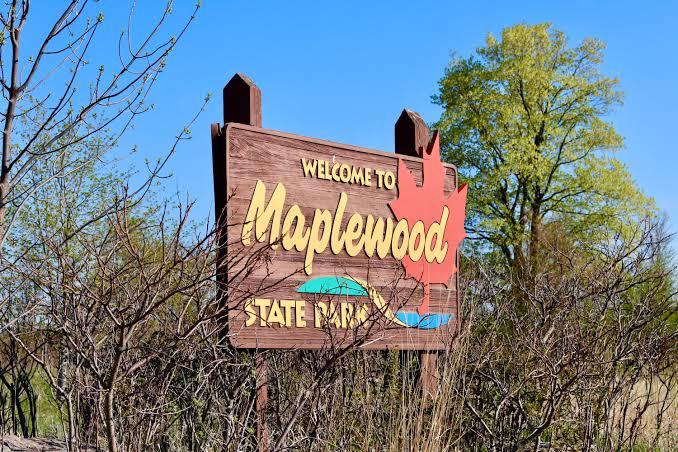
Pelican Rapids, Minnesota, United States has 1 park to explore on OuterMap: Maplewood State Park. It has 10 mapped trails and 34 points of interest.

Places

  1. #1 · Maplewood State Park

    0.0(0)ParkPelican Rapids10 trails

    Maplewood State Park was created in 1963 to protect the area’s unique natural and cultural resources. The 9,200-acre park sits between the state’s eastern forests and western prairies. Each autumn, its diverse landscapes share a stunning display of brilliant reds, oranges and gold. A look beneath the rich forests and prairie restoration sites reveals hills left behind during the last ice age. The highest hills in the park approach 1,600 feet. Changes in elevation, numerous lakes and ponds, and a mix of forest and prairie offer you a spectacular setting for canoeing, fishing, hiking, horseback riding, camping and more during your stay.

Frequently Asked Questions

How many parks are there in Pelican Rapids?

OuterMap has 1 park in Pelican Rapids, Minnesota, United States: Maplewood State Park.

What is the longest trail in Pelican Rapids?

The longest mapped trail in Pelican Rapids is Hiking/Horseback (Heart of the Lakes Trail) at Maplewood State Park, at 22.7 miles.

Where can I camp in Pelican Rapids?

Maplewood State Park has campsites marked on its map.

Where can I have a picnic in Pelican Rapids?

Maplewood State Park has picnic areas marked on its map.

Download The App & Explore Anywhere

Explore interactive maps, discover trails and points of interest, and navigate confidently with the OuterMap mobile app — with detailed information and offline access wherever you go.