
OuterMap

Parks in Little Falls

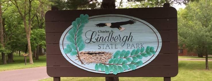
Little Falls, Minnesota, United States has 1 park to explore on OuterMap: Charles A. Lindbergh State Park. It has 5 mapped trails and 22 points of interest.

Places

  1. #1 · Charles A. Lindbergh State Park

    0.0(0)ParkLittle Falls5 trails

    The park was created in 1931 when the family of Charles A. Lindbergh, Sr. donated 110 acres in his memory. His son, Charles A. Lindbergh, Jr., flew the first trans-Atlantic solo flight. The Lindbergh house is now a historic site and the nearby Lindbergh Visitor Center showcases the lives and careers of three generations of Lindberghs. Today, the park contains 570 acres. Pike Creek meanders through its center and empties into the Mississippi River. These water resources, along with a diverse forest, offer you a variety of experiences. Fish, paddle, hike or discover the area’s rich history.

Frequently Asked Questions

How many parks are there in Little Falls?

OuterMap has 1 park in Little Falls, Minnesota, United States: Charles A. Lindbergh State Park.

What is the longest trail in Little Falls?

The longest mapped trail in Little Falls is Hiking at Charles A. Lindbergh State Park, at 2.5 miles.

Where can I camp in Little Falls?

Charles A. Lindbergh State Park has campsites marked on its map.

Where can I have a picnic in Little Falls?

Charles A. Lindbergh State Park has picnic areas marked on its map.

Download The App & Explore Anywhere

Explore interactive maps, discover trails and points of interest, and navigate confidently with the OuterMap mobile app — with detailed information and offline access wherever you go.