
OuterMap

Parks in Luverne

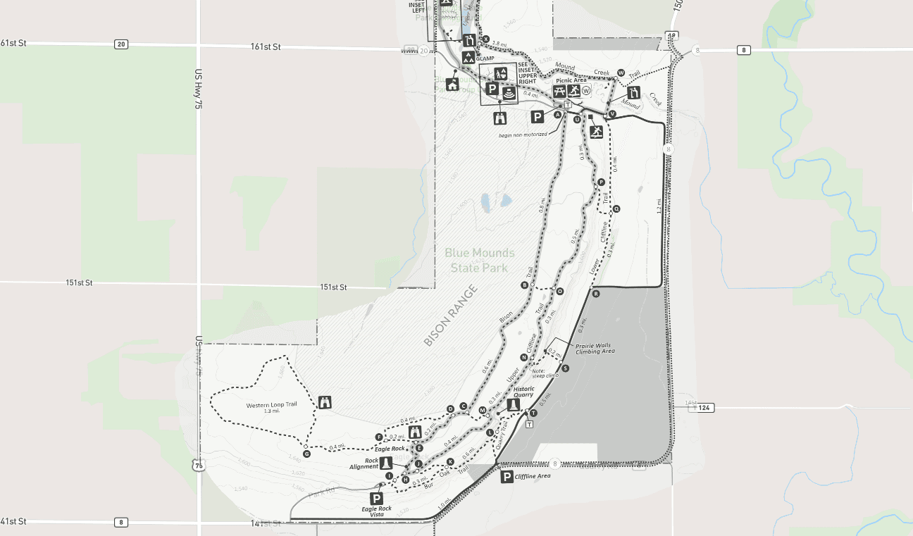
Luverne, Minnesota, United States has 1 park to explore on OuterMap: Blue Mounds State Park. It has 11 mapped trails and 18 points of interest.

Places

  1. #1 · Blue Mounds State Park

    0.0(0)ParkLuverne11 trails

    Blue Mounds State Park protects sheer quartzite cliffs and over 1,500 acres of highly diverse prairie. Here you have the opportunity to see more rare prairie species than in any other park in southwestern Minnesota. Management programs restore native grasses and wildflowers, resulting in a panorama of prairie colors in late summer. Amid this rich landscape, you may also spot bison. The herd you see today began with the introduction of three bison from Nebraska in 1961. New calves are born each spring.

Frequently Asked Questions

How many parks are there in Luverne?

OuterMap has 1 park in Luverne, Minnesota, United States: Blue Mounds State Park.

What is the longest trail in Luverne?

The longest mapped trail in Luverne is Blue Mounds Biking & Hiking Trail at Blue Mounds State Park, at 3.6 miles.

Where can I camp in Luverne?

Blue Mounds State Park has campsites marked on its map.

Where can I have a picnic in Luverne?

Blue Mounds State Park has picnic areas marked on its map.

Download The App & Explore Anywhere

Explore interactive maps, discover trails and points of interest, and navigate confidently with the OuterMap mobile app — with detailed information and offline access wherever you go.