
OuterMap

Parks in Schroeder

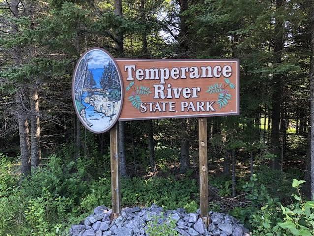
Schroeder, Minnesota, United States has 1 park to explore on OuterMap: Temperance River State Park. It has 8 mapped trails and 28 points of interest.

Places

  1. #1 · Temperance River State Park

    0.0(0)ParkSchroeder8 trails

    This 1.1 billion year-old landscape became a state park in 1957, but visitors have been attracted by its scenery for far longer. The rugged terrain is cleft by the Temperance River Gorge, a crack in the earth that the river rushes through on its way to Lake Superior. See and feel the power of the world’s largest freshwater lake at the beach and picnic area at the mouth of the river. Over 1,000 feet above the lake, Carlton Peak offers panoramic views of the surrounding wilderness. Visit the park for miles of trails, designated trout streams, or camping.

Frequently Asked Questions

How many parks are there in Schroeder?

OuterMap has 1 park in Schroeder, Minnesota, United States: Temperance River State Park.

What is the longest trail in Schroeder?

The longest mapped trail in Schroeder is Superior Hiking Trail at Temperance River State Park, at 10.4 miles.

Where can I camp in Schroeder?

Temperance River State Park has campsites marked on its map.

Where can I have a picnic in Schroeder?

Temperance River State Park has picnic areas marked on its map.

Download The App & Explore Anywhere

Explore interactive maps, discover trails and points of interest, and navigate confidently with the OuterMap mobile app — with detailed information and offline access wherever you go.