How Does Digital Wayfinding Work? The Honest Engineering Answer
Digital wayfinding combines interactive maps, searchable points of interest, and digital route guidance to help visitors navigate complex indoor and outdoor environments. Understanding how these systems work can help organizations evaluate the right wayfinding solution for their venues, facilities, parks, and other destinations.
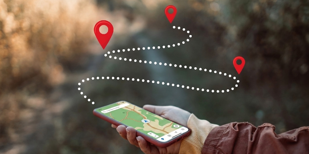
Most pitches for digital wayfinding stop at the elevator: "a branded app helps your visitors find their way." That's true and useless. Here's what's actually happening underneath, so you can evaluate vendors and know what questions to ask.
Three things have to be true
For digital wayfinding to be genuinely useful, three pieces have to be in place: an accurate map, searchable points of interest, and a way to draw a route between any two of them. Everything else, multi-language, accessibility, real-time updates, offline support, sits on top of those three foundations.
1. The map
A digital wayfinding map is not a picture; it's a data structure. Paths, walls, doors, stairs, lifts, zones, rooms and outdoor areas are stored as geometry so a routing engine can reason about them. OuterMap's AI extraction step turns your uploaded floor plan into that data structure: you can see it as the same map, but a computer can compute over it.
2. The points of interest
Every searchable destination, store, gate, exhibit, department, restroom, ATM, prayer room, is a POI with a name, a location, a category, optional photos, descriptions, opening hours, and accessibility tags. POIs are what visitors search for; the routing engine takes them there.
3. The routing
Given a start point and a destination, the routing engine finds the shortest valid walking path through the map's geometry. Valid means: avoid walls, prefer paths, use stairs/lifts when changing floors, optionally filter for accessibility (step-free only). The result is a polyline the app draws on the map and a turn-by-turn list of cues the visitor can follow.
What about "where am I right now"?
This is where the two main approaches diverge. With positioning hardware (iBeacons, UWB), the app knows your indoor position to within a metre or two. Without that hardware, the OuterMap default, the app starts the route from the nearest mapped entry point, or from your GPS position when outdoors, and the visitor visually matches the map to their surroundings as they walk. For most wayfinding (find this store, get me to this gate), the second approach is sufficient and dramatically cheaper to deploy.
How updates happen without re-publishing the app
Here's a critical operator question: when a tenant moves, a gate changes, or a trail closes, does the app need to be re-built and re-submitted to the App Store? With OuterMap, no. Maps and POIs live in a content service the apps fetch and cache. An admin pushes a change from the dashboard, and visitor apps reflect it on next open. The app itself only needs an App Store update when you change the app's branding, icons or core navigation features.
How offline works
On first open (usually over Wi-Fi at the entrance), the app caches the entire map, every POI's metadata, and any attached images or audio. After that, search, routing and POI details all work entirely offline. This is essential for venues where signal can't be assumed: museum basements, stadium concourses, remote trails, multi-storey parking. It's a feature OuterMap defaults to on, not an Enterprise upgrade.
Common technical questions
Does the map need to be perfectly accurate to scale?
Useful, but not strictly required. The Image Alignment Studio asks you to pin two or three reference points so the map aligns to real-world coordinates well enough for GPS overlays and reasonable walking-time estimates. Illustrated maps and hand-drawn trail maps work, the alignment step is more forgiving than people expect.
Can routes account for one-way paths or escalators?
Yes. Paths can be tagged as one-way (escalator up vs down, security one-way exits). Routing respects these constraints.
What happens if a route is blocked at the moment?
Mark the path or POI as closed in the admin dashboard. The routing engine excludes it on next sync and the visitor's app re-routes around it. This is how venues handle construction, weather closures and security incidents in real time.