Minnesota Hiking Trails: How Digital Trail Maps Can Help Visitors Explore
Minnesota offers a wide variety of hiking opportunities, from forest trails and state parks to scenic routes, paved paths, and natural-surface trails. With so many places to explore, having clear trail information and an easy way to understand the surrounding area can make planning and navigating a hike more convenient.
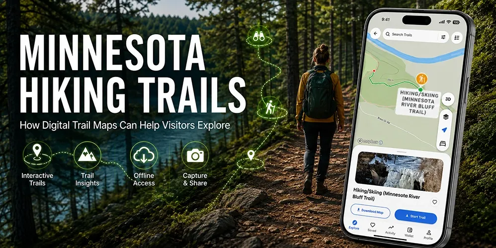
Digital trail maps can help visitors explore Minnesota hiking trails by bringing trail routes, destinations, points of interest, and other location information into an interactive experience. Instead of relying only on a static map, visitors can use digital maps to better understand where trails lead and what they may find along the way.
Why Minnesota Hiking Trails Attract Visitors
Minnesota's outdoor landscape provides a range of trail experiences for different interests and abilities. The Minnesota Department of Natural Resources (DNR) highlights hiking opportunities across state trails, state parks, state forests, scientific and natural areas, and other recreation areas.
The state's trail network includes more than 1,500 miles of state trails, with opportunities for hiking and other outdoor activities. Trail types and conditions vary, so visitors should review current information for the specific trail or destination they plan to visit.
For visitors exploring an unfamiliar area, the challenge is not always finding a trail. It can also be understanding where the trail begins, where it leads, what is nearby, and how different destinations connect.
Finding Minnesota Hiking Trails With Digital Maps
Planning a hike often starts with finding the right trail and understanding the area around it.
A Minnesota hiking trails map can provide a visual overview of routes and nearby locations. Digital mapping can make that information easier to explore by allowing visitors to interact with the map rather than viewing a static image.
Depending on the information available for a particular destination, a digital map can help visitors:
- Explore mapped trail routes
- Identify trailheads and destinations
- Find nearby points of interest
- View facilities and amenities
- Understand the relationship between trails and other locations
- Access relevant location information while exploring
This can be particularly useful when visitors are unfamiliar with the area and want to understand the trail network before starting their hike.
Minnesota State Park Trails and Digital Navigation
Minnesota state park trails are an important part of the state's outdoor recreation opportunities. State parks offer different landscapes, facilities, trails, and visitor experiences, so information can vary from one park to another.
The Minnesota DNR provides official park and trail information, including maps and accessibility information for many destinations. Visitors should always check the official information for the specific park they plan to visit, particularly for current conditions, closures, regulations, and accessibility details.
Digital maps can complement this information by providing an interactive way to explore configured trails and nearby destinations.
For example, visitors may want to understand how a trail connects with a visitor center, parking area, restroom, scenic location, or other point of interest. Bringing these locations together within one digital map can make the surrounding environment easier to understand.
How Digital Trail Maps Can Improve the Hiking Experience
A digital trail map is more than a digital version of a printed map. When properly configured, it can connect trail information with other location-based information that visitors may find useful.
1. Make Trail Routes Easier to Understand
A visual map can help visitors see where a trail begins and how it relates to nearby destinations.
This can be especially useful in larger parks or recreation areas where several routes, facilities, and points of interest may be located close to one another.
2. Help Visitors Discover Nearby Points of Interest
Hiking is often about more than following a trail from one point to another.
Visitors may also want to find:
- Scenic viewpoints
- Waterfalls
- Historic locations
- Visitor centers
- Restrooms
- Parking areas
- Picnic areas
- Other mapped attractions
When these locations are available within the same digital experience, visitors can explore what is around their route rather than focusing only on the trail itself.
3. Support Better Trip Planning
Digital maps can help visitors explore a destination before they arrive.
A visitor can review the available map, identify destinations they want to see, and develop a better understanding of the area before starting their hike.
This does not replace official trail information or preparation. Instead, it provides another way to organize information and plan an outdoor experience.
4. Provide Useful Information During Exploration
Once visitors are on a trail, having access to relevant digital map information can help them understand their surroundings.
Depending on the destination and information configured within the map, visitors may be able to identify nearby facilities, attractions, or other mapped locations.
For outdoor activities, visitors should also carry appropriate navigation resources and prepare for changing weather, terrain, and connectivity conditions. The Minnesota DNR recommends carrying a map and compass and knowing how to use them as part of hiking preparation.
Accessibility and Minnesota Hiking Trails
Accessibility can be an important consideration when choosing an outdoor destination.
Minnesota DNR provides accessibility information for state trails and parks, and notes that accessibility varies by location. Some state trails and portions of state parks offer accessible opportunities, while conditions and facilities can differ significantly between destinations.
Digital maps can make configured accessibility information easier to discover by helping visitors identify relevant facilities, routes, or destinations on a map.
However, a digital map should not be treated as a guarantee that a trail is suitable for every visitor. Visitors should review current official accessibility information and contact the specific park when they need detailed or up-to-date information about accessibility.
Using Digital Maps Responsibly Outdoors
Digital navigation can be useful, but it should be part of a broader approach to outdoor preparation.
Before visiting a trail, check official information for:
- Weather
- Park rules
- Permits or fees where applicable
- Seasonal restrictions
- Community insights (Including visitor comments & photos)
- Temporary closures
- Accessibility
- Safety information
The Minnesota DNR advises hikers to stay on designated trails, prepare for changing weather and conditions, and carry appropriate supplies and navigation tools.
Visitors should also follow posted signs and destination-specific rules. Digital map information should complement official guidance rather than replace it.
How OuterMap Supports Digital Trail Exploration
OuterMap provides interactive digital mapping experiences that can bring trail routes, points of interest, amenities, activities, and other configured destination information together within one map experience.
For outdoor destinations, this can give visitors another way to explore their surroundings before and during a visit.
Depending on the information configured for a specific map, visitors may be able to:
- Explore mapped trails
- Find points of interest
- Discover nearby amenities, activities, attractions, and happenings based on their location
- View activities or local happenings
- Access offline map information where supported
- Explore safety-related map information where configured
- Access SOS or emergency alert features where supported
- Navigate between relevant destinations
OuterMap can therefore serve as a digital layer that complements existing park information and visitor resources.
For an example of how OuterMap brings trails, attractions, amenities, activities, and other information together, see our guide to Minnesota state park maps.
Explore Minnesota Hiking Trails With a Digital Map
Minnesota's hiking opportunities range from state parks and state trails to forests, natural areas, and other outdoor destinations. Each location has its own terrain, facilities, rules, and visitor requirements.
A digital trail map can make it easier to understand these environments by connecting trail routes with relevant destinations and location information.
Whether visitors are researching Minnesota hiking trails, looking for a Minnesota hiking trails map, or exploring Minnesota state park trails, interactive digital maps can provide another convenient way to discover and navigate outdoor destinations.
The key is to use digital mapping alongside official trail information, responsible preparation, and current conditions so visitors can explore with better awareness and confidence.
Frequently Asked Questions
1. What are Minnesota hiking trails?
Minnesota hiking trails include routes across state parks, state trails, state forests, scientific and natural areas, and other recreation destinations. Trail conditions, terrain, permitted uses, and accessibility vary by location, so visitors should check information for the specific destination before visiting.
2. Where can I find Minnesota hiking trail maps?
Visitors can find official trail and park maps through Minnesota DNR resources. Digital mapping platforms can also provide interactive map experiences for destinations where maps and trail information have been configured.
3. How can digital trail maps help hikers?
Digital trail maps can help visitors explore trail routes, understand nearby destinations, find configured points of interest, and plan how they want to explore an area. They should complement rather than replace official maps, trail information, and safety guidance.
4. What should I check before hiking in Minnesota?
Before starting a hike, check current trail and park information, weather, closures, rules, accessibility information, and any applicable permits or fees. The Minnesota DNR also recommends carrying appropriate navigation and emergency supplies.
5. Can digital maps show accessible hiking routes?
They can display accessibility-related information when that information has been configured and verified for the destination. However, accessibility varies between trails and facilities, so visitors should consult current official information for the specific location.
6. Can OuterMap be used for Minnesota hiking trails?
OuterMap can provide interactive digital map experiences for configured outdoor destinations. Depending on the specific map, visitors may be able to explore trails, points of interest, amenities, activities, and other location-based information.
Conclusion
Exploring Minnesota hiking trails can be easier when visitors have clear information about routes, destinations, facilities, and the surrounding environment.
Digital trail maps provide an interactive way to bring this information together, helping visitors plan their trips, discover nearby locations, and better understand the places they want to explore.
Whether someone is researching hiking trails in Minnesota, looking for a Minnesota hiking trails map, or exploring Minnesota state park trails, a digital map can provide a useful additional layer of information.
With OuterMap, outdoor destinations can create connected digital map experiences that help visitors discover and navigate trails and other configured points of interest while complementing official park information and responsible outdoor preparation.