
OuterMap

Parks in Littleton

Littleton, Colorado, United States has 1 park to explore on OuterMap: Chatfield State Park. It has 22 mapped trails and 62 points of interest.

Places

  1. #1 · Chatfield State Park

    0.0(0)ParkLittleton22 trails

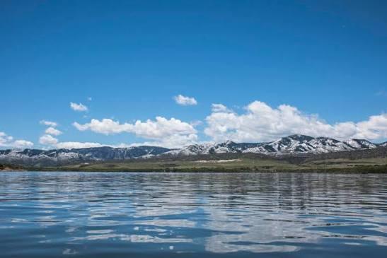
    Chatfield State Park is a popular 5,600-acre outdoor destination centered around the 1,500-acre Chatfield Reservoir along the South Platte River. The park features over 26 miles of multi-use trails for hiking, biking, horseback riding, and winter cross-country skiing. Key highlights include a 197-site campsite with full and electric RV hookups, a 69-acre Dog Off-Leash Area, a seasonal swim beach, a full-service marina with boat rentals, stable rentals, an accessible fishing pier, a model airplane airfield, and a hot air balloon launch site.

Frequently Asked Questions

How many parks are there in Littleton?

OuterMap has 1 park in Littleton, Colorado, United States: Chatfield State Park.

What is the longest trail in Littleton?

The longest mapped trail in Littleton is High Line Canal Trail at Chatfield State Park, at 7.4 miles.

Where can I camp in Littleton?

Chatfield State Park has campsites marked on its map.

Where can I have a picnic in Littleton?

Chatfield State Park has picnic areas marked on its map.

Download The App & Explore Anywhere

Explore interactive maps, discover trails and points of interest, and navigate confidently with the OuterMap mobile app — with detailed information and offline access wherever you go.