
OuterMap

Parks in Aurora

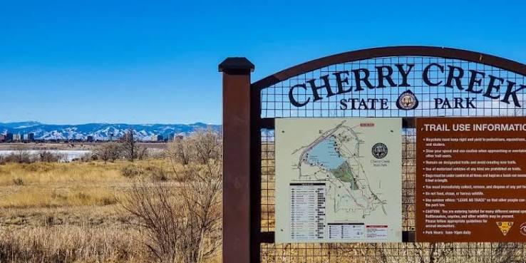
Aurora, Colorado, United States has 1 park to explore on OuterMap: Cherry Creek State Park. It has 18 mapped trails and 39 points of interest.

Places

  1. #1 · Cherry Creek State Park

    0.0(0)ParkAurora18 trails

    Cherry Creek State Park is a 4,200-acre recreation area in the Denver metropolitan area centered around an approximately 850-acre reservoir. The park offers boating, fishing, camping, bicycling, hiking, horseback riding, swimming, picnicking, nature study, and winter recreation. The park has an extensive multi-use trail system, including trails such as Cherry Creek, 12 Mile, Cottonwood Creek, Parker Road, Railroad Bed, Smoky Hill, Wetland Loop, and Windmill Creek Loop. Facilities include boat ramps, a marina, campground, swim beach, picnic areas, restrooms, parking, a model airfield, shooting center, horse stable, boat decontamination station, and a dog off-leash area. The park also provides accessible facilities at fishing areas, the campground, swim beach, and group picnic sites.

Frequently Asked Questions

How many parks are there in Aurora?

OuterMap has 1 park in Aurora, Colorado, United States: Cherry Creek State Park.

What is the longest trail in Aurora?

The longest mapped trail in Aurora is Paved (Cherry Creek Trail) at Cherry Creek State Park, at 5 miles.

Where can I camp in Aurora?

Cherry Creek State Park has campsites marked on its map.

Where can I have a picnic in Aurora?

Cherry Creek State Park has picnic areas marked on its map.

Download The App & Explore Anywhere

Explore interactive maps, discover trails and points of interest, and navigate confidently with the OuterMap mobile app — with detailed information and offline access wherever you go.