
OuterMap

Parks in Ohiopyle

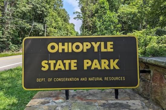
Ohiopyle, Pennsylvania, United States has 1 park to explore on OuterMap: Ohiopyle State Park. It has 19 mapped trails and 77 points of interest.

Places

  1. #1 · Ohiopyle State Park

    0.0(0)ParkOhiopyle19 trails

    Ohiopyle State Park encompasses 20,633 acres at the southern reaches of Laurel Ridge and features the Youghiogheny River Gorge as its centerpiece. The park offers a wide range of recreational opportunities, including hiking, biking, mountain biking, horseback riding, fishing, rock climbing, picnicking, wildlife watching, hunting, camping, snowmobiling, cross-country skiing, and whitewater boating. Major attractions include Ohiopyle Falls, Cucumber Falls, Meadow Run Natural Waterslides, Cascades, Sugar Run Falls, Ferncliff Natural Area, Baughman Rock, Tharp Knob, Sugarloaf Recreation Area, and the Great Allegheny Passage. The park has more than 80 miles of hiking trails, 27 miles of the Great Allegheny Passage, camping facilities at Kentuck Campground, picnic areas, visitor facilities, and ADA-accessible amenities.

Frequently Asked Questions

How many parks are there in Ohiopyle?

OuterMap has 1 park in Ohiopyle, Pennsylvania, United States: Ohiopyle State Park.

What is the longest trail in Ohiopyle?

The longest mapped trail in Ohiopyle is Great Allegheny Passage at Ohiopyle State Park, at 19 miles.

Where can I camp in Ohiopyle?

Ohiopyle State Park has campsites marked on its map.

Where can I have a picnic in Ohiopyle?

Ohiopyle State Park has picnic areas marked on its map.

Download The App & Explore Anywhere

Explore interactive maps, discover trails and points of interest, and navigate confidently with the OuterMap mobile app — with detailed information and offline access wherever you go.