
OuterMap

Parks in South Lake Tahoe

4.6(10 reviews)

South Lake Tahoe, California, United States has 1 park to explore on OuterMap: Emerald Bay Map. It has 6 mapped trails and 65 points of interest.

Places

  1. #1 · Emerald Bay Map

    4.6(10)ParkSouth Lake Tahoe6 trails

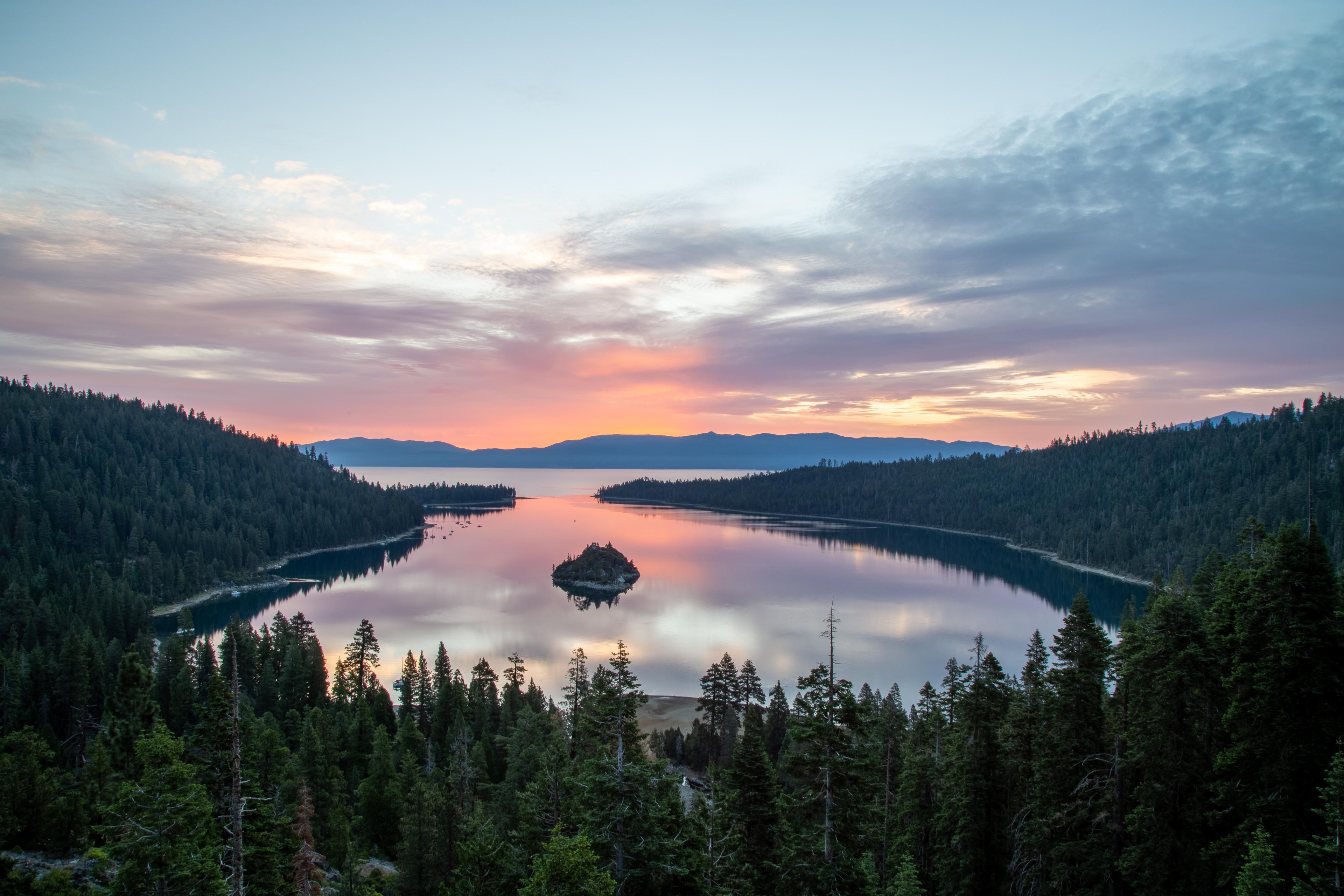
    Emerald Bay State Park is a state park of California in the United States, centered on Lake Tahoe's Emerald Bay, a National Natural Landmark. Park features include Eagle Falls and Vikingsholm, a 38-room mansion that is considered one of the finest examples of Scandinavian architecture in the United States. The architect was Leonard Palme, who was hired by his aunt Lora Josephine Knight to design and build Vikingsholm.

Reviews for South Lake Tahoe

Shubham Rahevar

6 months ago

Amazing views! you could spend hours exploring the trails to vikingsholm & Lower eagle falls! Loved it 😍

Emerald Bay Map

Shubham Rahevar

6 months ago

Hands down the most scenic spot at Lake Tahoe. Crystal clear water, lush forest trails, and rich history with Vikingsholm. Cannot recommend enough!

Emerald Bay Map

Frequently Asked Questions

How many parks are there in South Lake Tahoe?

OuterMap has 1 park in South Lake Tahoe, California, United States: Emerald Bay Map.

What is the longest trail in South Lake Tahoe?

The longest mapped trail in South Lake Tahoe is Rubicon Trail at Emerald Bay Map, at 6 miles.

Where can I camp in South Lake Tahoe?

Emerald Bay Map has campsites marked on its map.

Where can I have a picnic in South Lake Tahoe?

Emerald Bay Map has picnic areas marked on its map.

Which parks in South Lake Tahoe have wheelchair-accessible places?

Emerald Bay Map has places marked as wheelchair accessible on its map.

More cities in California

Explore South Lake Tahoe

Download The App & Explore Anywhere

Explore interactive maps, discover trails and points of interest, and navigate confidently with the OuterMap mobile app — with detailed information and offline access wherever you go.