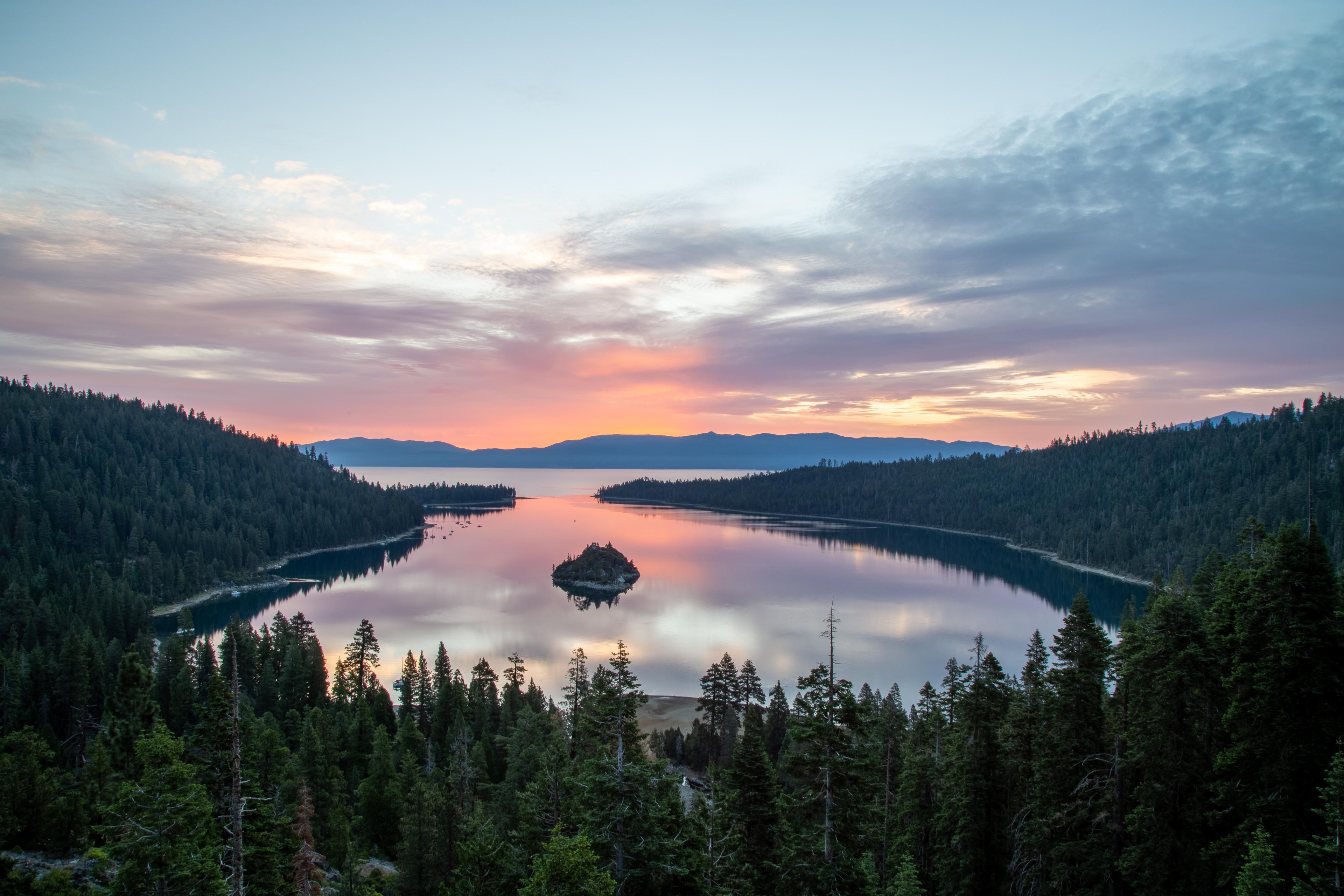
California, United States has 3 parks to explore on OuterMap: Antelope Valley California Poppy Reserve 🌼🌄, Emerald Bay Map and Ahjumawi Lava Springs State Park. Between them they have 18 mapped trails and 88 points of interest.
The cities with the most places are Lancaster (1), McArthur (1) and South Lake Tahoe (1).
Emerald Bay State Park is a state park of California in the United States, centered on Lake Tahoe's Emerald Bay, a National Natural Landmark. Park features include Eagle Falls and Vikingsholm, a 38-room mansion that is considered one of the finest examples of Scandinavian architecture in the United States. The architect was Leonard Palme, who was hired by his aunt Lora Josephine Knight to design and build Vikingsholm.
Ahjumawi Lava Springs State Park is a state park of California in the United States. It is located in remote northeastern Shasta County and is only accessible to the public by boat. The park is 4 miles (6.4 km) in length and no more than 1 mile (1.6 km) wide, and has over 13 miles (21 km) of shoreline.
Antelope Valley California Poppy Reserve 🌼🌄
As of April 2026, the reserve is in peak wildflower season, with rolling hills beautifully blanketed in vibrant orange California poppy 🌿
Bloom intensity may vary daily depending on weather like wind and temperature.
🌸 Best Time to Visit
⏰ Park Hours: Sunrise to Sunset (daily)
🌞 Best Viewing: Mid-morning (9:00 AM – 10:00 AM)
🌬️ Poppies may close in the afternoon if it gets too windy or cold
🚗 Parking Information
🚙 Standard Vehicle: $10.00
👵 Senior (62+): $9.00
🚌 Small Bus (9–24): $50.00
🚌 Large Bus (25+): $100.00
📍 Location
📌 15101 Lancaster Road, Lancaster, California
🛣️ ~15 miles west of Highway 14
⚠️ Important Rules & Tips
🚫 Stay on Trails: Protect delicate poppy fields
🐕 No Dogs Allowed: (Service animals permitted)
🐍 Wildlife Alert: Watch for Mojave green rattlesnakes—stay on marked paths
🌿 Respect nature to preserve its beauty
🏛️ Visitor Facilities
Explore Jane S. Pinheiro Interpretive Center
🎨 Wildflower exhibits
🛍️ Gift shop
🚻 Visitor amenities
🌄 Nearby Attractions
🌳 Arthur B. Ripley Desert Woodland State Park (7 miles west) – Joshua trees & desert woodland
⛰️ Saddleback Butte State Park (32 miles east) – Camping & diverse wildflowers
🌟 Why Visit Now
🌼 Peak bloom creates a once-a-year natural spectacle
📸 Perfect for photography, hiking, and relaxation
🌿 A peaceful escape into California’s desert beauty
🌼 Plan Your Visit
Witness the magic of endless цвет blooms, breathe in fresh desert air, and create unforgettable memories in one of California’s most iconic spring destinations 🌄🌼
Solid trail system with varying difficulty levels. The boat-in campsite on the bay is a unique experience. Map details helped us plan our route perfectly.
Explore interactive maps, discover trails and points of interest, and navigate confidently with the OuterMap mobile app — with detailed information and offline access wherever you go.